India - Size and Location | Class 9 Geography
Class 9 Geography – Chapter 1
India: Size and Location
📘 Introduction
- India is one of the oldest civilizations in the world.
- After independence from British rule, India progressed in agriculture, industry, and technology.
- India has established a unique and strong identity globally.
📐 India’s Location
- Located in the Northern Hemisphere.
- Latitudinal extent: 8°4′ N to 37°6′ N
- Longitudinal extent: 68°7′ E to 97°25′ E
- Tropic of Cancer (23°30′ N) divides the country almost into two equal parts.
- Andaman and Nicobar Islands (572) in Bay of Bengal (South-East)
- Lakshadweep Islands (36) in Arabian Sea (South-West)

📏 India’s Size
- Total area: 3.287 million sq. km
- 2.4% of total world area
- 7th largest country in the world
- Land boundary: 15,200 km
- Coastline (including islands): 7,516.6 km
- Himalayas form the northern and northeastern boundary
- India tapers southward into the Indian Ocean, dividing into Arabian Sea (west) and Bay of Bengal (east)
🕒 Standard Time
- Standard Meridian: 82°30′ E (passes through Mirzapur, Uttar Pradesh)
- Used to calculate Indian Standard Time (IST)
- Time gap between Arunachal Pradesh and Gujarat: ~2 hours
- Latitude affects day and night duration across India
🌍 India and the World
- Central location between East and West Asia
- Indian Ocean route connects Europe and East Asia
- Deccan Peninsula helps contact with Africa, West Asia (west coast), and Southeast Asia (east coast)
- Named "Indian Ocean" due to India’s long coastline

🛤️ Land and Sea Routes
- Land routes are older than sea routes
- Mountain passes helped ancient travelers
- Exchanged ideas and goods: Upanishads, Ramayana, numerals, spices, muslin
- Influences from Greek, West Asian architecture (domes, minarets)
🌐 India and Its Neighbours
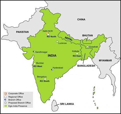
- 28 States and 8 Union Territories
- Land borders:
- Northwest: Pakistan, Afghanistan
- North: China, Nepal, Bhutan
- East: Bangladesh, Myanmar
- South: Sri Lanka, Maldives
- Sri Lanka is separated by Palk Strait and Gulf of Mannar
- Maldives lies south of Lakshadweep

⚠️ Other Key Points
- Southernmost point: Indira Point (submerged in 2004 tsunami)
- Suez Canal (opened 1869) shortened distance to Europe by 7,000 km
- Peninsula: Land surrounded by water on three sides
🏙️ States and Capitals
Andhra Pradesh - Hyderabad (shared)
Arunachal Pradesh - Itanagar
Assam - Dispur
Bihar - Patna
Chhattisgarh - Raipur
Goa - Panaji
Gujarat - Gandhinagar
Haryana - Chandigarh (shared)
Himachal Pradesh - Shimla
Jharkhand - Ranchi
Karnataka - Bangalore
Kerala - Thiruvananthapuram
Madhya Pradesh - Bhopal
Maharashtra - Mumbai
Manipur - Imphal
Meghalaya - Shillong
Mizoram - Aizawl
Nagaland - Kohima
Odisha - Bhubaneswar
Punjab - Chandigarh (shared)
Rajasthan - Jaipur
Sikkim - Gangtok
Tamil Nadu - Chennai
Telangana - Hyderabad (shared)
Tripura - Agartala
Uttar Pradesh - Lucknow
Uttarakhand - Dehradun
West Bengal - Kolkata
🏛️ Union Territories and Capitals
Andaman and Nicobar - Port Blair
Chandigarh - Chandigarh
Dadra & Nagar Haveli - Silvassa
Daman and Diu - Daman
Jammu & Kashmir - Srinagar (Summer), Jammu (Winter)
Lakshadweep - Kavaratti
Delhi - Delhi
Puducherry - Puducherry


